Mae Haad/koh Ma
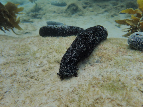
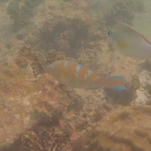
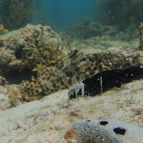
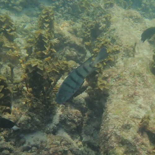
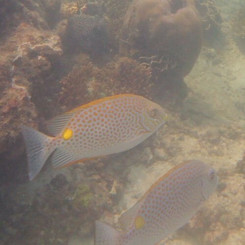
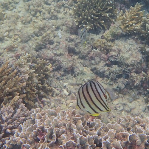
Mae Haad/koh Ma is a dive site in Koh Tao, Thailand. It lies within the Than Sadet-Ko Pha-ngan National Park. Currents typically run at 0.6 km/h and reach 1.1 km/h on the strongest days. Water temperatures range from 28°C in January to 32°C in May. The typical daily tidal range is about 1.2 m. Species recorded in the area include Golden Trevally, Black Sea Cucumber, Blue-barred Parrotfish, Longfin Rockcod and Bengal Sergeant.
Dive Conditions
Data sources: currents and water temperature from Open-Meteo Marine (CC BY 4.0), hourly model values 2024. Tidal range is the median daily range of modelled sea level from Open-Meteo Marine, hourly values 2024. Protected area boundary from OpenStreetMap contributors (ODbL). Species observations from iNaturalist, checked against the World Register of Marine Species.
Conditions at Mae Haad/koh Ma through the year
Sea surface temperature at the site coordinates, averaged per month from hourly model values for 2024. The water is warmest in May at about 32 °C and coolest in January at about 28 °C, a spread of 3.6 degrees across the year.
| Jan | Feb | Mar | Apr | May | Jun | Jul | Aug | Sep | Oct | Nov | Dec |
|---|---|---|---|---|---|---|---|---|---|---|---|
| 28.3 | 29.0 | 29.6 | 31.5 | 31.9 | 30.5 | 30.0 | 30.3 | 29.7 | 30.1 | 29.5 | 28.4 |
Ocean current at the site runs at a typical 0.6 km/h. In the strongest tenth of the hours modelled for 2024 it reaches 1.1 km/h, which is when entries are normally timed to slack water at the turn of the tide.
The tide moves the water level by a median 1.2 m over a day, and by up to 1.6 m on the largest days of the month. That range drives how much water is exchanged over the reef and when the current turns.
In the open sea off Mae Haad/koh Ma, the highest wave of the day exceeded 1.5 m on 3.2 % of days between 2015 and 2024. The roughest month was December (13 % of days), the calmest March (0 %).
| Jan | Feb | Mar | Apr | May | Jun | Jul | Aug | Sep | Oct | Nov | Dec |
|---|---|---|---|---|---|---|---|---|---|---|---|
| 8 | 2 | 0 | 1 | 0 | 1 | 2 | 2 | 3 | 1 | 5 | 13 |
Mae Haad/koh Ma lies inside Than Sadet-Ko Pha-ngan National Park. Protected areas can carry their own rules on entry fees, permits, anchoring and fishing; check the current rules with a local operator before you dive.
Satellite habitat mapping places Mae Haad/koh Ma on a sheltered reef slope, over a seabed mapped as rock.
How Mae Haad/koh Ma compares
These comparisons use only the measured values above, set against the 376 dive sites published on findadive.com. A percentage shows the share of other sites with a lower (or higher) value, so it reads the same way wherever the site is. Mae Haad/koh Ma sits with its peak current in the bottom tenth of all listed sites.
| Measure | This site | Compared with all sites | Median in Koh Tao |
|---|---|---|---|
| Mean water temperature | 29.9 °C | warmer than 87 % of the other 375 sites | 29.7 °C (34 sites) |
| Water temperature in the coolest month | 28.3 °C | warmer than 62 % of the other 375 sites | 28.1 °C (34 sites) |
| Typical current | 0.6 km/h | weaker than 88 % of the other 375 sites | 0.6 km/h (34 sites) |
| Current in the strongest 10 % of hours | 1.1 km/h | weaker than 93 % of the other 375 sites | 1.2 km/h (34 sites) |
| Median daily tidal range | 1.2 m | smaller than 89 % of the other 375 sites | 1.3 m (34 sites) |
Water temperature, current and tide from Open-Meteo Marine (CC BY 4.0), hourly model values for 2024 at 9.7982°, 99.9780°. Protected area boundary from OpenStreetMap contributors (ODbL). Wave statistics from ERA5-Ocean via Open-Meteo Marine (contains modified Copernicus Climate Change Service information 2015–2024), daily maximum wave height on a 0.5° grid; land shelter tested against Natural Earth coastlines. Reef structure and seabed cover from the Allen Coral Atlas © 2018–2023 Allen Coral Atlas Partnership and Arizona State University (CC BY 4.0).
Nearby Dive Schools
Marine life recorded at this site
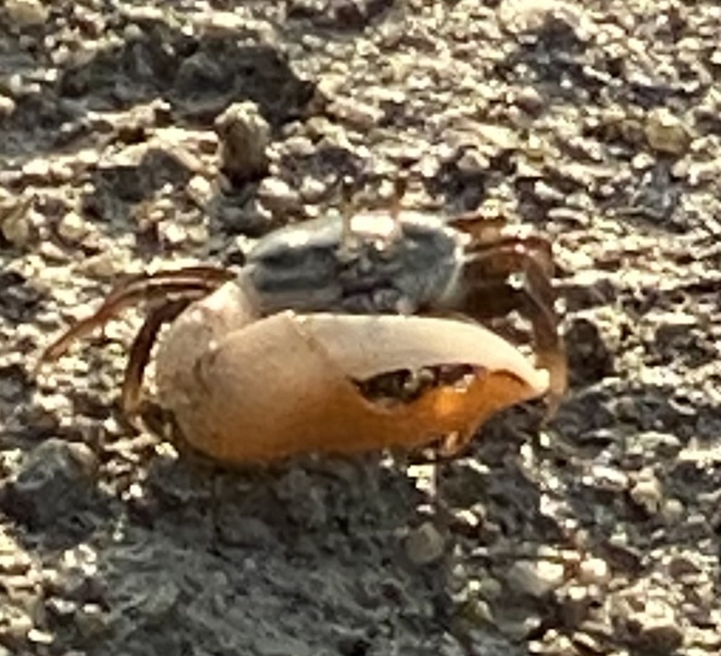
Research-grade observations from iNaturalist within about 12 km of these coordinates.