The Barge
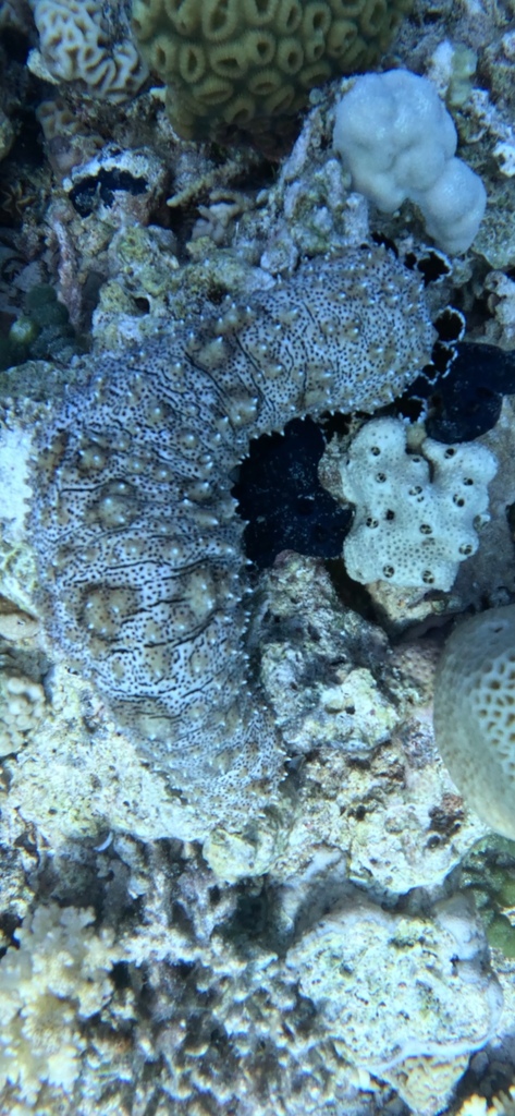
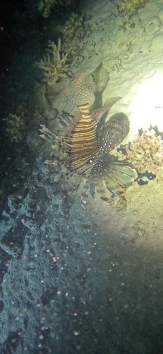
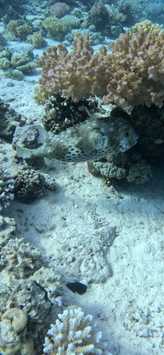
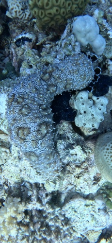
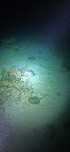
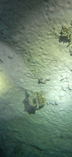
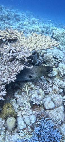
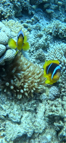
The Barge is a dive site in Red Sea, Egypt. The sea floor at the site position lies at about 22 meters. Currents typically run at 0.6 km/h and reach 1.4 km/h on the strongest days. Water temperatures range from 21°C in February to 29°C in August. The typical daily tidal range is about 0.4 m. Species recorded in the area include Graeffe's Sea Cucumber, Bluespotted Fantail Ray, Masked Puffer, Giant Moray and Red Sea Anemonefish.
Dive Conditions
🐠 Marine Life at This Dive Site
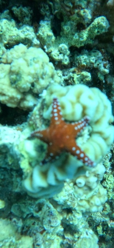
Species data from iNaturalist (CC BY-NC)
Data sources: currents and water temperature from Open-Meteo Marine (CC BY 4.0), hourly model values 2024; seabed depth from the GEBCO 2020 Grid, sampled at the site coordinates (grid resolution about 450 m). Tidal range is the median daily range of modelled sea level from Open-Meteo Marine, hourly values 2024. Species observations from iNaturalist, checked against the World Register of Marine Species.
Conditions at The Barge through the year
Sea surface temperature at the site coordinates, averaged per month from hourly model values for 2024. The water is warmest in August at about 29 °C and coolest in February at about 21 °C, a spread of 7.5 degrees across the year.
| Jan | Feb | Mar | Apr | May | Jun | Jul | Aug | Sep | Oct | Nov | Dec |
|---|---|---|---|---|---|---|---|---|---|---|---|
| 22.6 | 21.3 | 22.2 | 23.1 | 24.3 | 26.2 | 28.1 | 28.8 | 27.8 | 26.4 | 25.5 | 23.7 |
Ocean current at the site runs at a typical 0.6 km/h. In the strongest tenth of the hours modelled for 2024 it reaches 1.4 km/h, which is when entries are normally timed to slack water at the turn of the tide.
The tide moves the water level by a median 0.4 m over a day, and by up to 0.5 m on the largest days of the month. That range drives how much water is exchanged over the reef and when the current turns.
In the open sea off The Barge, the highest wave of the day exceeded 1.5 m on 5.2 % of days between 2015 and 2024. The roughest month was January (14 % of days), the calmest September (0 %).
| Jan | Feb | Mar | Apr | May | Jun | Jul | Aug | Sep | Oct | Nov | Dec |
|---|---|---|---|---|---|---|---|---|---|---|---|
| 14 | 12 | 13 | 7 | 3 | 1 | 1 | 1 | 0 | 0 | 2 | 7 |
The seabed directly under the site coordinates sits at about 22 m. This is a bathymetry grid value with a cell size of roughly 450 m, so it describes the depth of the area rather than the deepest point a dive can reach.
Satellite habitat mapping places The Barge on an outer reef slope, over a seabed mapped as coral and algae. The classification comes from the nearest mapped reef polygon, about 39 m from the listed coordinates, so it describes the reef the site sits on rather than a single point on it.
How The Barge compares
These comparisons use only the measured values above, set against the 351 dive sites published on findadive.com. A percentage shows the share of other sites with a lower (or higher) value, so it reads the same way wherever the site is. The Barge sits with its mean water temperature in the bottom tenth and its coolest-month water temperature in the bottom tenth of all listed sites.
| Measure | This site | Compared with all sites | Regional median |
|---|---|---|---|
| Mean water temperature | 25.0 °C | cooler than 100 % of the other 350 sites | – |
| Water temperature in the coolest month | 21.3 °C | cooler than 100 % of the other 350 sites | – |
| Typical current | 0.6 km/h | weaker than 88 % of the other 350 sites | – |
| Current in the strongest 10 % of hours | 1.4 km/h | weaker than 77 % of the other 350 sites | – |
| Median daily tidal range | 0.4 m | smaller than 100 % of the other 350 sites | – |
Water temperature, current and tide from Open-Meteo Marine (CC BY 4.0), hourly model values for 2024 at 27.6771°, 33.8044°. Seabed depth from the GEBCO 2020 Grid. Wave statistics from ERA5-Ocean via Open-Meteo Marine (contains modified Copernicus Climate Change Service information 2015–2024), daily maximum wave height on a 0.5° grid; land shelter tested against Natural Earth coastlines. Reef structure and seabed cover from the Allen Coral Atlas © 2018–2023 Allen Coral Atlas Partnership and Arizona State University (CC BY 4.0).
Marine life recorded at this site
Research-grade observations from iNaturalist within about 12 km of these coordinates.